Be Part of the Transformation
Join Chipotle, Panera, Starbucks, Famous Dave’s, HomeGoods, Toppers Pizza, and Noodles & Company as the Richmond Highway corridor continues to grow, develop, and thrive with young residents and new opportunities for development.
Southeast Fairfax Development Corporation (SFDC) is a nonprofit economic development organization dedicated to promoting the redevelopment and revitalization of the Richmond Highway/U.S. Route 1 area from I-495 to Fort Belvoir in Fairfax County, Virginia. Since 1981, SFDC has helped direct nearly $2 billion of private investment to the Richmond Highway corridor. SFDC serves as a helpful resource for business owners, developers, property managers, and members of the community. Local residents are craving new businesses. We would be interested in connecting with you further to explore all the business opportunities our area has to offer you.
Local Attractions
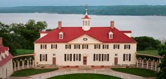
- Mount Vernon Estate and Gardens
- Woodlawn Estate
- George Washington’s Gristmill & Distillery
- Pope-Leighey House
- River Farm
- Pohick Church
- Friends Meeting House
- Huntley Meadows Park
- Fort Belvoir
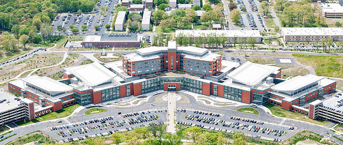
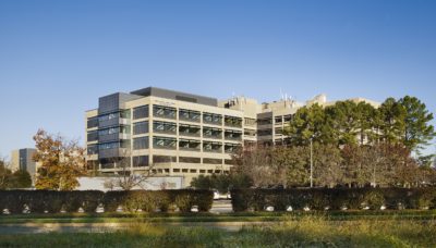
- Inova Mount Vernon Hospital
Demographics Fit Your Business
Richmond Highway Community Business Centers (CBCs) North to South:
Huntington/North Gateway

Penn Daw

Beacon / Groveton

Hybla Valley

South County

Woodlawn

Money to Spend
